Western North Carolina Mountain Biking Trailheads
Find a Place to Ride!
MTB WNC's Trailheads are hubs, or areas, where several trails are clustered together or in a network. More than Wikipedia's definition of a Trailhead as "the point at which a trail starts", a Trailhead here could be a campground, a convenient parking area where several trails start, a river basin, an isolated park, or simply a group of trails convenient to one another. The US Forest Service has been referring to these as Trail Complexes in its recent Trail Strategy process.

Historically, cities located near the starting point for major paths were also called Trailheads. For this site, a Trailhead can be any of these, but represents a place where you can spend a day or more exploring mountain biking trails without driving too far (or at all!).


Federal Lands
-
- Pisgah Ranger District
- Appalachian Ranger District
- Big Ivy (Coleman Boundary)
- Hot Springs
-
- Cheoah Ranger District
- Nantahala Ranger District
- Tusquitee Ranger District
- Hanging Dog (Ramsey Bluff Trail System)
- Jackrabbit Mountain Trail System
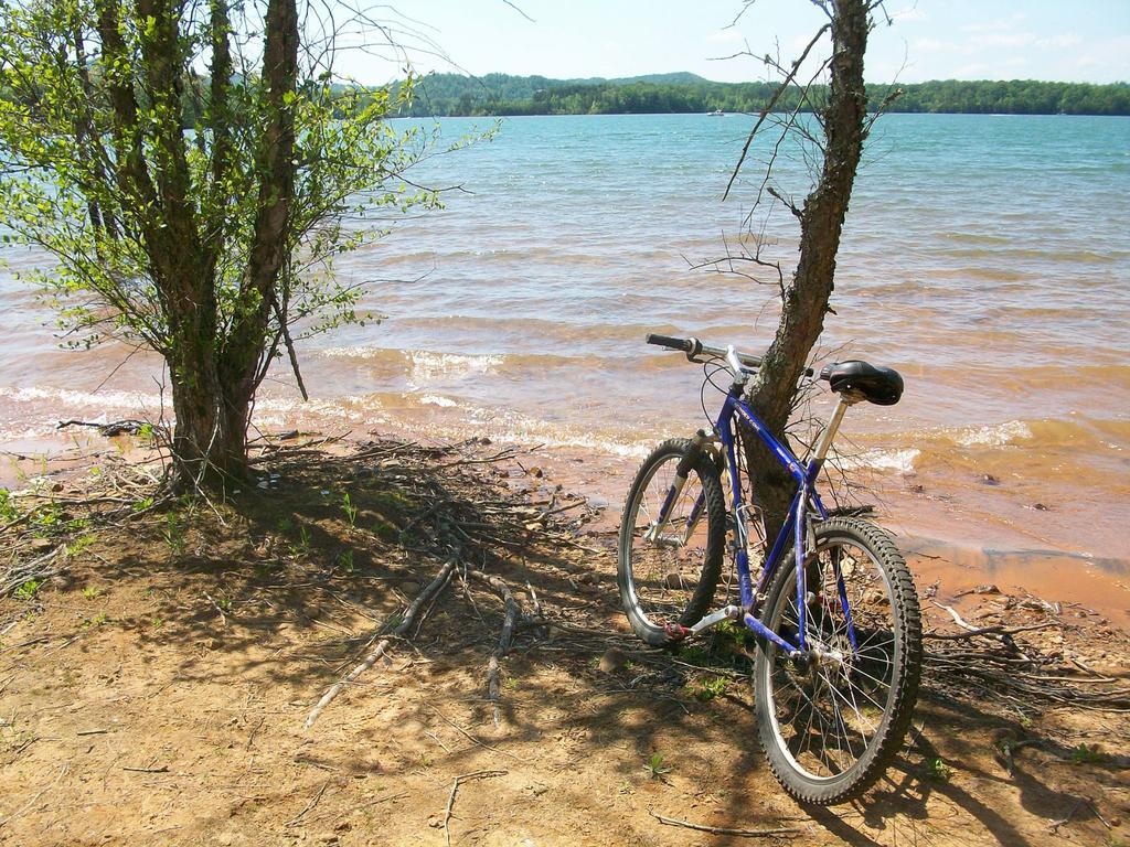
US Army Corps of Engineers
- W. Kerr Scott Reservoir
- Dark Mountain Trails
- Fish Dam Creek Trail
- Overmountain Victory Trail
- Warrior Creek Trails
- Dark Mountain Trails
- W. Kerr Scott Reservoir
State Lands
City/County Lands
- City of Asheville
- City of Boone
- Rocky Knob Park
- City of Brevard
- Bracken Preserve
- Town of Canton
- Buncombe County
Private Lands
- Sugar Mountain
- Beech Mountain
- Bailey Mountain
Map
Map Information
Download GPS Data
Click on a route, trail, or point on the map and select the GPS Data tab to download its data.
Data Formats
KML (Google Earth)
KML is the main file type used by Google Earth. If you have Google Earth installed, clicking the KML link should open the trail or point directly in Google Earth for viewing. This is the native file format used by Google Earth, but many other map applications can use and understand KML as well, so if you're not sure which one to download, KML is a good bet.
GPX
The GPX format stands for GPS Exchange - a free, open, XML format for exchanging GPS and map data. GPX is compatible with Google Earth, many other mapping programs, and most GPS devices (such as Garmin). Load the file directly into your GPS to help find your way on your next trip!
GeoJSON
GeoJSON is a newer, lightweight data exchange format which can be used to quickly share map data and may have a smaller size than KML or GPX. Many professional mapping and GIS applications support the GeoJSON format.
About the Map
Copyright
Base Layers
Base layers provided by OpenStreetMap, the US Geological Survey, the US Forest Service, and NC OneMap. Base layer images are subject to the respective copyright policies of their owners. Base layers may not be available at all times due to system maintenance or outages.
WNCOutdoors Base Layer
The WNCOutdoors Base layer is provided by WNCOutdoors.info. It is licensed by Creative Commons Attribution 3.0.
Trail and Marker Overlays
Trail layers and downloadable data are all original works created by WNCOutdoors with guidance from a variety of sources, including ensembles of our own GPS tracks, user contributed GPS tracks, official maps and GIS data from government agencies, and field observations. WNCOutdoors data is made freely available under the Open Database License - you are free to copy and use it for any purpose under the terms of that license (summary).
Tips
- Hover over a trail to see it highlighted. Helps to see start and end points for an individual trail.
- Scroll and zoom the map before printing, and that view will persist into the printed image.
- Click a trail for more details and to download it individually.
