|
|
|
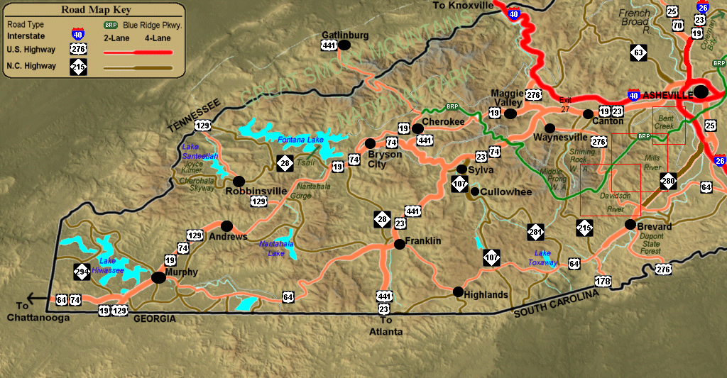
New! Click the red boxes
on the map to zoom to a close-up of that area.
In some cases, you may then zoom even further to maps of individual
rides within that area.
Available for the Davidson
River, Mills
River and Bent
Creek areas at this time.
Click the green text to see information on that area.
|
