Rough trail makes a fun, rocky and muddy downhill connection between the Laurel Gap trail (grassy road) and FR 74. Not that great uphill - there's no real good downhill to connect to unless you come back down this trail. Huge jumps near bottom. A...
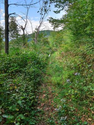
A long, grassy old road (FS 5548), running parallel to (but higher than) FS 74 through the Big Ivy area. At its highest point, the road is just below the Blue Ridge Parkway. Intersects four other trails for loop options. High elevation, dense...
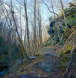
The trail climbs and follows a ridge above Little Andy Creek. The trail emerges on Laurel Gap Trail about 100 feet from Upper Corner Rock Trail on the left. You will pass a seemingly misplaced large granite boulder on the left.
Can be made into a...
**Note**: major maintenance work was started on this trail in Fall 2015 and the Forest Service has announced its closure to horses and bikes while that is completed. Expected re-opening is March 2016.
This trail is typically ridden in the downhill...
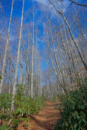
Starting at FS 74, climbs moderately on a wide old road bed through a couple of switchbacks, first to the right and then to the left. Be sure not to take any mis-leading side trails leading away from the switchbacks on the old road. Traverses the...
From FS 74, this trail descends a little over 1000' to cross Walker Creek and terminate. It is nearly always ridden downhill; the other direction would be a long push more or less. It's muddy after rains and it's rocky, the rocks get slick, and it...
1.8mi, Climbs Moderately, Moderately Rough
Nearby Trails
The following trails cross into this trailhead area, but are primarily accessed from another trailhead: